Wonderland Trail Weather Considerations
- Elevation ranges from 2,300 feet in rainforest river valleys up to 6,800 feet at Panhandle Gap, meaning temperatures and conditions shift dramatically in a single day.
- Glacial river crossings (such as the Carbon and South Mowich rivers) swell significantly in the afternoon as daytime heat accelerates melt upstream.
- Deep canyons and dense timber block cell reception along almost the entire 93-mile loop.
- The western slopes catch the bulk of Pacific rain fronts, while areas around Sunrise sit in a noticeable rain shadow and are often much drier.
How Mount Rainier Generates Its Own Weather
Mount Rainier stands well above the surrounding Cascade peaks. When moist Pacific storm systems move in from Puget Sound, they hit the mountain and are forced upward. As the air rises, it cools rapidly, resulting in sudden rain, thick cloud cover, or summer sleet at higher elevations.
Because of the mountain's size, conditions on one flank rarely match the other. Hikers at Carbon River or Golden Lakes may hike through persistent 45°F drizzle, while trail sections 15 miles away near Sunrise and White River enjoy clear, warm skies in Rainier's rain shadow.
Most hikers take 8 to 12 days to finish the loop, so a departure forecast from Longmire or Mowich Lake will quickly become outdated. Knowing how the weather is trending mid-trip keeps you ahead of changing mountain conditions.
Key Sections Where Weather Matters Most
Panhandle Gap
Snowfields often linger into August. Thick cloud cover can reduce visibility quickly, and strong winds across the scree can make wet conditions feel bitterly cold.
South Mowich & Carbon Rivers
These glacier-fed rivers rise substantially on warm afternoons and during rain storms. Seasonal foot logs can wash out when water volume peaks.
Spray Park & Emerald Ridge
Open subalpine meadows offer expansive views of the mountain, but provide very little cover when sudden squalls or afternoon thunderstorms roll in.
Timing River Crossings with Daily Temperatures
Crossing glacial rivers on Mount Rainier depends heavily on temperature timing. Glacial melt increases directly with daytime heat:
Cool overnight temperatures reduce melt. Water levels are usually at their daily low, flow rates are slower, and temporary foot logs are more secure.
Peak daily heat releases large volumes of meltwater. Water levels rise, currents pick up speed, and murky silt can hide submerged obstacles.
Checking temperature forecasts the evening before helps you decide whether you should get an early start to cross major drainage basins before water levels rise.
Frequently Asked Questions
Is there cell service on the Wonderland Trail? ▾
Cell service is virtually non-existent along more than 95% of the 93-mile Wonderland Trail. Minor, fleeting signals may occasionally be caught near Sunrise Visitor Center or high open vantages near Longmire, but deep rainforest canyons (Carbon River, South Mowich, Mowich Lake) and alpine basins are completely cut off from all cellular networks.
Why is weather forecasting critical for glacial river crossings on Mount Rainier? ▾
Mount Rainier's massive glaciers feed powerful rivers such as the Carbon, South Mowich, White, and Nisqually rivers. When daytime temperatures rise or warm rain events occur, glacial melt accelerates dramatically. A stream that is ankle-deep at 7:00 AM can become a roaring, impassable torrent by 2:00 PM, washing away temporary log footbridges. Accurate temperature and rain forecasts allow hikers to time dangerous crossings in the cool morning hours.
What weather conditions should I expect at Panhandle Gap? ▾
Panhandle Gap is the highest point on the Wonderland Trail at 6,800 feet. It is a barren, exposed alpine pass that frequently retains snowfields late into August. Because of Mount Rainier's orographic influence, Panhandle Gap experiences sudden whiteout fog, 40+ mph wind gusts, and summer freezing rain or sleet even when lower valley camps like Carbon River are mild.
How does Mount Rainier create its own microclimates? ▾
Rising 14,411 feet above sea level, Mount Rainier acts as a gigantic barrier to moist marine air masses sweeping in from the Pacific Ocean. As air rises against the mountain's western flanks, it cools and dumps torrential rainfall on valleys like Carbon River and South Mowich. Conversely, the eastern side near Sunrise and White River frequently sits in a rain shadow, experiencing noticeably drier, sunnier conditions.
Can I use my iPhone or Android satellite features on the Wonderland Trail? ▾
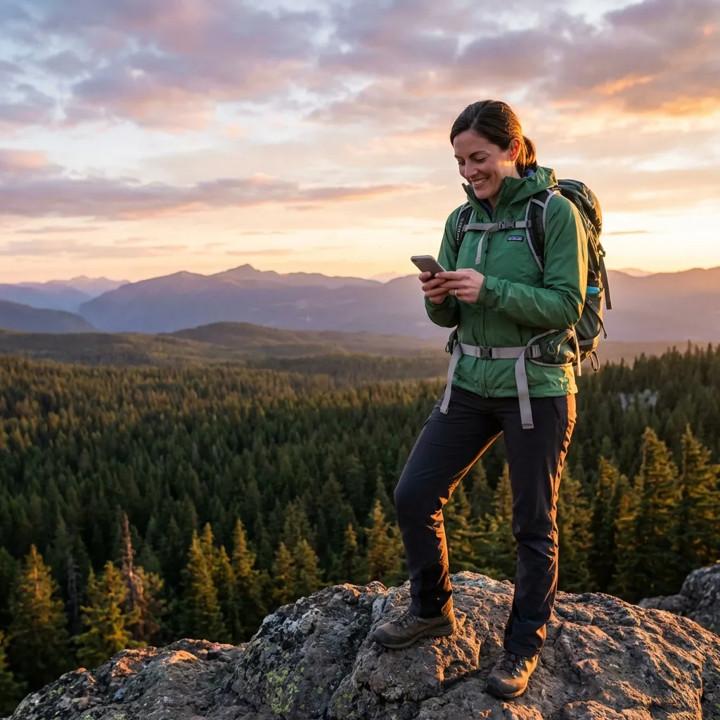
Yes. Modern smartphones supporting direct-to-satellite messaging (iPhone 14+ on iOS 18+, Google Pixel 9 / Samsung Galaxy S25 on Android 15+) can transmit text requests to SMS Weather On Demand. Because valley floors feature dense old-growth Douglas fir canopy, hikers simply step into riverbed gravel bars or open avalanche chutes to acquire a direct satellite link.