Arizona Trail Weather Considerations
- Daily temperatures routinely swing 40°F to 50°F between scorching afternoons and near-freezing desert nights.
- Summer monsoon storms can turn dry slot canyons and washes into dangerous flash floods within minutes.
- Remote canyon sections and plateaus often leave hikers without cellular connectivity for multiple days.
- Knowing expected high temperatures helps you time water consumption and decide whether to night-hike during heat waves.
Temperature Swings from Low Deserts to High Plateaus
The Arizona National Scenic Trail traverses the entire north-south length of Arizona, from the border with Mexico to the Utah state line. It climbs from low desert washes around 1,700 feet to over 9,100 feet across isolated mountain ranges, including the Santa Catalinas, Mazatzals, and the San Francisco Peaks near Flagstaff.
In the lower desert passages, dry air allows solar radiation to heat the ground rapidly during the day, while radiating that heat right back into space after sunset. Hikers navigating passages near Superior, Kelvin, or the Black Hills often hike through 95°F+ afternoons only to find frost on their tarps by morning.
Because water sources can be separated by 20 to 30 miles, a surprise heat wave can turn a routine stretch into a serious water crisis. Accurate local forecasts help you pack the right amount of water and plan shade stops.
Key Sections Where Weather Matters Most
Gila River & Superstitions
Arid desert canyons with very little shade and high reflective heat. Summer monsoon rain upstream can turn dry washes into rapid flash floods.
Mazatzal Wilderness
Rugged and remote terrain with long carries between reliable water sources. Exposed ridgelines can see strong winds and sudden lightning storms.
Grand Canyon & Kaibab
Climbing from the bottom of the canyon (often 100°F+ in summer) to the North Rim at over 8,000 feet, where snow and sub-freezing nights are common in spring and fall.
Managing Desert Heat: Afternoon Rest and Night Hiking
Experienced desert hikers adapt to the heat rather than fighting it. Checking the forecast before starting your day helps plan a sensible schedule:
When temperatures climb above 95°F, resting in shade under canyon walls or mesquite trees helps conserve water and prevents heat exhaustion.
Temperatures cool down into a comfortable hiking range. Hikers can cover substantial mileage with far less water loss.
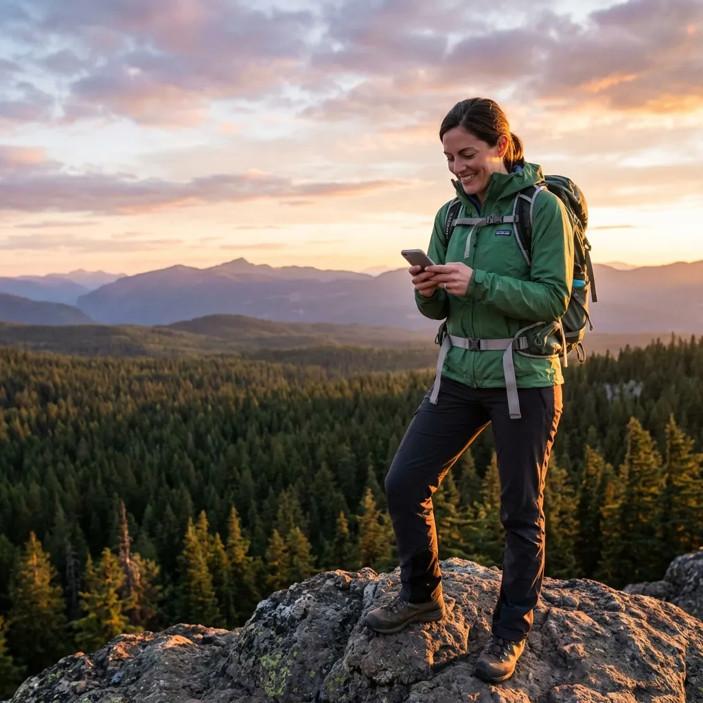
Checking high and low temperatures for your GPS position takes just seconds, helping you travel comfortably across the desert.
Frequently Asked Questions
Where does cell service drop on the 800-mile Arizona Trail? ▾
Cell service is notoriously absent across vast stretches of the AZT, including the Superstition Wilderness, the Gila River canyons (Passage 15–17), the Mazatzal Wilderness, the remote Mogollon Rim, and the Kaibab Plateau on the Grand Canyon North Rim. Thru-hikers frequently travel 3 to 5 consecutive days without any cellular connectivity.
What is the diurnal temperature swing on the AZT? ▾
Because dry desert air holds very little moisture to retain heat, daily temperature fluctuations routinely span 40°F to 50°F. A hiker may experience intense 95°F–102°F heat on the desert floor during the afternoon, followed by nighttime temperatures dropping below 50°F (or into the 20s and 30s when ascending high ranges like Mount Lemmon or the San Francisco Peaks).
Why are monsoon flash floods so dangerous in Arizona slot canyons? ▾
Summer monsoon storms (July through September) generate torrential localized cloudbursts. In desert terrain with hardened caliche soil, rain cannot absorb quickly and channels violently into narrow slot canyons and dry washes miles away from the storm. Hikers can be trapped by sudden 10-foot walls of water. Accurate coordinate-based satellite forecasts provide advance warning of rain probabilities.
How does offline weather optimize desert night-hiking strategy? ▾
When afternoon temperatures exceed 95°F, hiking under the sun leads to dangerous dehydration and heat stroke. By checking SMS weather forecasts in the morning, hikers identify the exact hours of peak heat, find shade in canyon washes to rest, and hike the cooler twilight and nighttime hours under headlamp when temperatures drop.
Can I use iPhone or Android satellite texting on the Arizona Trail? ▾
Yes. Modern smartphones supporting native satellite texting (iPhone 14+ on iOS 18+, Google Pixel 9 / Samsung Galaxy S25 on Android 15+) connect quickly to satellites across the open desert sky. Simply request your coordinates in SMS Weather On Demand and receive hourly and daily forecasts for your specific location coordinates without paying for monthly satellite hardware plans.