Pacific Crest Trail Weather Overview
- Changing Climates: Thru-hikers move from desert heat past 100°F into snow-capped Sierra passes and late-season Pacific Northwest rains.
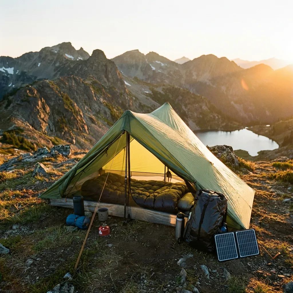
- Days Without Cell Towers: The High Sierra and North Cascades routinely bring week-long gaps in mobile coverage.
- River and Pass Timing: Forecasted temperatures help anticipate afternoon snowmelt at river crossings and freezing levels on high passes.
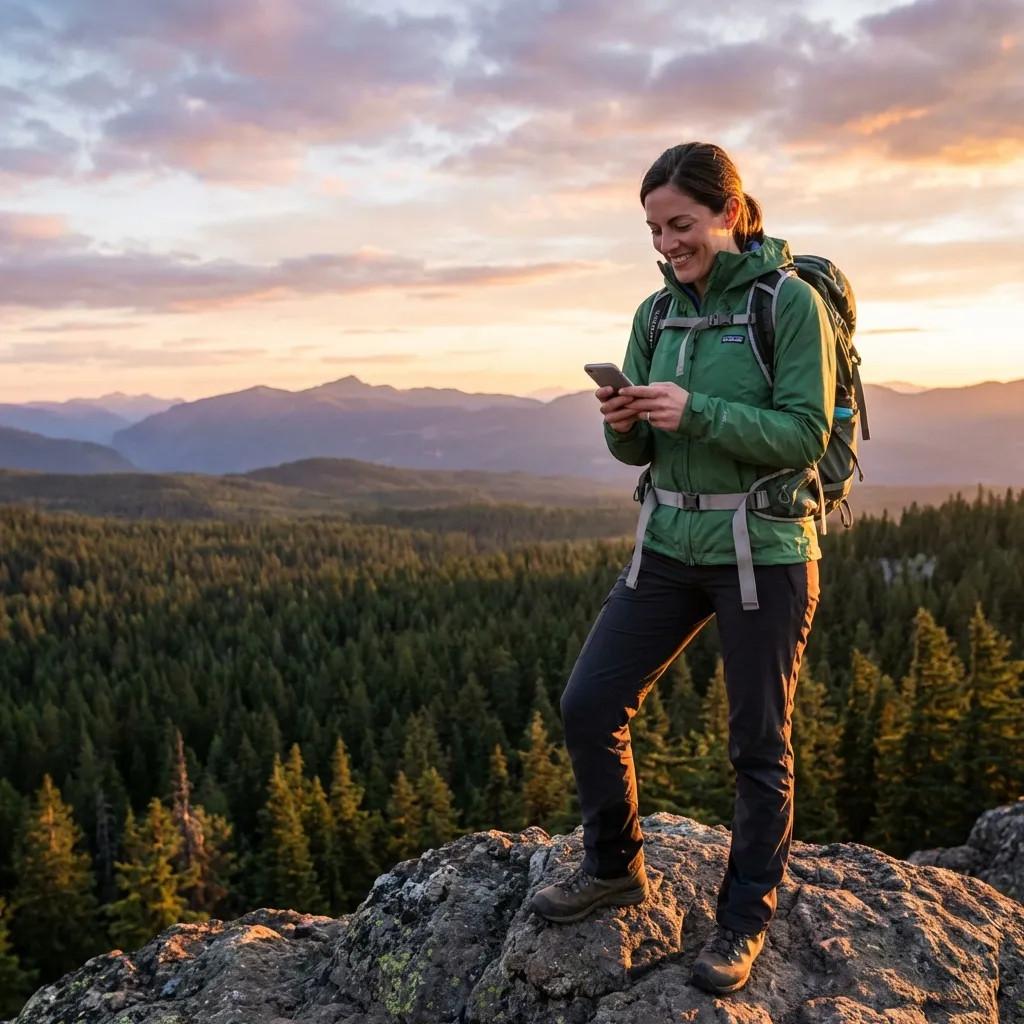
- Phone-Native Satellite: Hourly and daily forecasts are available for your specific location coordinates directly on your existing smartphone with zero added base weight and no monthly contracts.
Navigating 2,650 Miles of Changing Weather
Over five or six months on trail, PCT hikers experience a wide variety of weather conditions:
The Desert (Miles 0–702): The primary challenge is heat and water management. Days can be hot and dry, with stretches between water sources reaching 20 to 30 miles. Knowing daytime highs helps you plan your siestas and night hiking hours.
The High Sierra (Miles 702–1,017): Leaving Kennedy Meadows South, the trail climbs into the alpine zone, traversing eight major mountain passes and topping out at Forester Pass (13,153 ft). Rapid afternoon storms can bring hail or snow, and warm spells accelerate snowmelt into creeks.
Washington (Miles 2,147–2,650): Late in the season, hikers race autumn cold fronts through the North Cascades. Extended soaking rain and early snowstorms are common on exposed sections like Goat Rocks and Harts Pass.
Notable Weather Sections
The Mojave & San Jacinto
Big temperature changes between valley floors and high mountain shoulders. Knowing when peak heat arrives helps plan safe water carries.
Forester & Muir Passes
Consistently above 10,000 feet with long distances between roads. Knowing whether a cold front is bringing snow helps you cross passes safely.
Goat Rocks & North Cascades
Spectacular ridgelines with full exposure to Pacific storms. Cold rain and wind can set in fast during September.
Satellite Weather Without the Subscription Trap
Traditionally, thru-hikers carried a separate satellite communicator and paid monthly plan fees—even during rest days in town:
$150–$200+ in plans
Plus $350–$400 device cost and activation
~$10 total usage
Uses your existing phone with no monthly bills
If your phone already supports satellite messaging, you can pull forecasts whenever you need them without paying for months you aren't hiking.
Frequently Asked Questions
Where are the longest cell service gaps on the PCT? ▾
The longest stretches without cell coverage occur in the High Sierra (over 100 miles between Kennedy Meadows South and Mammoth Lakes or Tuolumne Meadows) and in Northern Washington (from Snoqualmie Pass through the Glacier Peak Wilderness to the Canadian border). Hikers regularly spend 5 to 8 consecutive days without mobile coverage.
Why are mountain point forecasts important in the High Sierra? ▾
Valley towns like Bishop or Lone Pine sit thousands of feet lower than the trail. A warm 85°F forecast in the Owens Valley doesn't reflect conditions on 13,000-foot passes like Forester Pass, where temperatures can hover near freezing with 35 mph winds and afternoon squalls. Point forecasts calculate weather for your specific elevation.
How does offline weather help in the desert sections? ▾
In Southern California, daytime temperatures often climb past 95°F. Checking the day's high temperature and wind speed helps you decide when to carry extra water, when to rest in the shade, and whether night hiking makes more sense.
Can I use an iPhone or Android phone for satellite weather on the trail? ▾
Yes. Modern smartphones supporting direct satellite texting (iPhone 14+ running iOS 18+, Google Pixel 9 and Samsung Galaxy S25 on Android 15+) can send and receive texts off-grid. Because the PCT travels along open ridges, getting a satellite connection is generally fast.
How does this compare to paying for a satellite messenger plan? ▾
A full 5-month thru-hike using a traditional satellite device often costs $150 or more in monthly service fees alone. With SMS Weather On Demand, there are no monthly charges—you only pay a few cents when you pull a forecast, typically spending under $15 for an entire hike.