Superior Hiking Trail Weather Highlights
- Lake-Effect Cooling: When the wind turns off the lake, ridge temperatures can drop 20 degrees in under an hour.
- High Ridge Exposure: Overlooks like Section 13 and Carlton Peak catch strong winds coming across open water.
- Gorge Cell Gaps: Steep river cuts (like the Temperance and Cascade) frequently lose all cell signal.
- Informed Campsite Choices: Checking wind forecasts before dinner helps you pick sheltered forest camps over windy bluffs.
Weather Along Minnesota's North Shore
The Superior Hiking Trail traces more than 300 miles of ridgeline overlooking Lake Superior. Because the lake is so large, it acts like an inland sea, generating distinct weather patterns that rarely match regional forecasts.
On warm summer days, air over the lake remains chilly. An afternoon wind shift off the water can pull dense fog over the ridges, dropping comfortable 75°F weather down into the 50s with persistent, damp mist. In the fall, brisk northern fronts bring high winds and cold overnight lows that require warm gear.
Because cell reception disappears whenever the trail drops into river canyons, having an offline forecast helps you choose where to pitch your tent and prepare your layers before nightfall.
Notable Sections Along the SHT
Bean & Bear Lakes
Cliffside overlooks offer great views but little shelter from east winds. High bluff setups can get cold and noisy during stormy nights.
Carlton Peak
Standing tall above the lake, this rocky peak catches incoming fronts early. Fog can roll in fast, making rock scrambles damp and slick.
Grand Portage Section
The remote northern miles near the 270 Degree Overlook feature quiet woods, zero cell towers, and brisk fall cold snaps.
Picking the Right Camp: Ridge vs. Forest
With designated campsites spaced along the route, hikers often have a choice between scenic bluff sites and sheltered wooded sites:
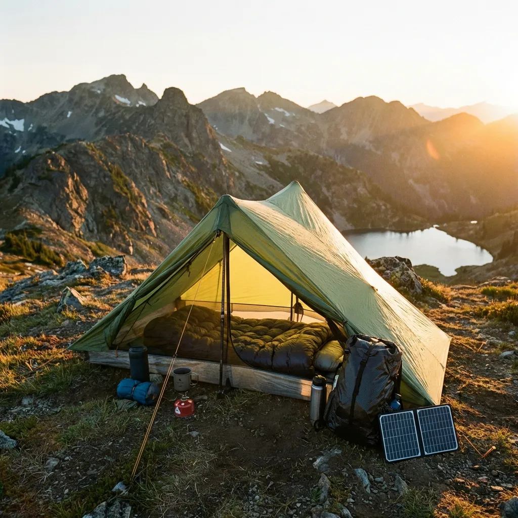
Great sunrise views, but direct exposure to 30 mph lake gusts and damp fog can make tents cold and loud through the night.
Dense maple and birch stands cut the wind significantly, keeping your campsite noticeably warmer and drier during gusty conditions.
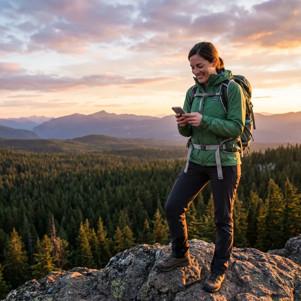
Texting for a quick weather update in late afternoon gives you wind direction and overnight rain chances so you can choose the best campsite for the night.
Frequently Asked Questions
Why is cell service spotty along the Superior Hiking Trail? ▾
While Highway 61 runs nearby, the trail stays high on the Sawtooth ridge and dips into deep river gorges like the Temperance, Cascade, and Split Rock rivers. The terrain and dense tree cover regularly block highway cell towers, leaving backpackers without signal for stretches at a time.
How does Lake Superior affect weather on the trail? ▾
Lake Superior stays cold all year, rarely warming above the 40s or low 50s. When winds shift from inland to blowing directly off the lake, temperatures along the ridge can drop 20 degrees or more within minutes, often bringing thick fog and cold drizzle.
How can weather forecasts help with campsite choices? ▾
Many popular SHT sites sit on high, exposed bluffs (like Bean and Bear Lakes or Section 13). If a storm brings 30 mph lake winds, camping on an open ledge can be loud and cold. Checking the wind forecast helps you decide whether to stay on an overlook or pick a sheltered camp back in the woods.
Can I use iPhone or Android satellite texting on the SHT? ▾
Yes. Modern smartphones supporting satellite messaging (iPhone 14+ on iOS 18+, Google Pixel 9 and Samsung Galaxy S25 on Android 15+) can text SMS Weather On Demand. To get a quick satellite lock, step onto an open ridge, rock overlook, or clearing with a clear view of the sky.
Do I need a recurring subscription to use this service? ▾
No. SMS Weather On Demand operates on a pay-as-you-go model. You only pay a few cents when you request a forecast, with no monthly bills or activation charges. Your first forecasts are free.