Appalachian Trail Weather Considerations
- Persistent rain in moderate temperatures (45°F to 55°F) is a frequent cause of hypothermia when gear never fully dries out.
- Ridge summits like Mount Washington and the Presidential Range can experience below-freezing winds and zero visibility even in midsummer.
- Remote stretches like Maine's 100-Mile Wilderness and deep gaps in the Smokies have no reliable cellular coverage.
- Town weather at the bottom of gaps often bears little resemblance to cold, blustery conditions along the ridgelines.
Weather Along the Ridgelines: Multi-Day Rain and Cold Fronts
The Appalachian Trail spans 14 states across the eastern ranges. While elevations are lower than the Rockies or Sierra, the AT presents its own physical challenge: persistent dampness, high humidity, and rapid temperature changes.
Hikers frequently spend four to seven consecutive days walking through steady rain. In the southern mountains, early spring hikers often encounter freezing rain and surprise snowstorms around the Great Smokies. Further north, the White Mountains and Maine's 100-Mile Wilderness feature exposed terrain where wind and wet conditions can turn dangerous quickly.
Knowing when a three-day front is due to clear—or when a cold front will sweep across an exposed summit—helps you decide when to push miles, stay at a shelter, or take a zero in town.
Key Sections Where Weather Matters Most
The Great Smoky Mountains
With 70 miles above 5,000 feet, hikers in early spring regularly encounter snow, freezing rain, and iced-over shelters with no cell signal.
The Presidential Range
Exposed above treeline for 12 miles over Mount Washington and neighboring peaks. Hurricane-force gusts and sudden cloud cover can drop temperatures below freezing rapidly.
100-Mile Wilderness & Katahdin
The longest stretch between road crossings. Heavy rains swell river fords, and early autumn cold fronts can bring snow to Mount Katahdin.
Why Valley Forecasts Mislead Hikers on Ridgelines
Hikers often check forecasts for gap towns like Gatlinburg, Roanoke, Hanover, or Gorham before returning to the trail. But conditions down in town are rarely representative of the ridges:
74°F • Calm 5 mph
Mild summer weather
36°F • 50G75 mph + Freezing Mist
Severe wind chill and freezing fog
SMS Weather On Demand delivers hourly and daily forecasts tailored to your specific location coordinates and elevation, giving you a true picture of conditions up top.
Frequently Asked Questions
Where does cell service drop along the 2,198-mile Appalachian Trail? ▾
While the AT crosses numerous highways, extended cellular dead zones are common. The most critical blackouts include the 100-Mile Wilderness in Maine (7 to 10 days of zero signal), the high ridgelines of the Great Smoky Mountains National Park, the remote Mahoosuc Range on the Maine/New Hampshire border, and high notches throughout the White Mountain National Forest.
Why are valley town forecasts dangerous for White Mountain summits like Mount Washington? ▾
Town forecasts for Gorham, NH (800 ft) or Lincoln, NH (810 ft) frequently predict pleasant 75°F summer weather, while Mount Washington (6,288 ft) and the Presidential Range experience sub-freezing temperatures, 70+ mph wind gusts, and severe freezing fog. The Presidential Range is exposed above treeline for 12 continuous miles, where over 150 hikers have died from sudden hypothermia.
How do I get a satellite SMS signal through dense eastern tree canopy? ▾
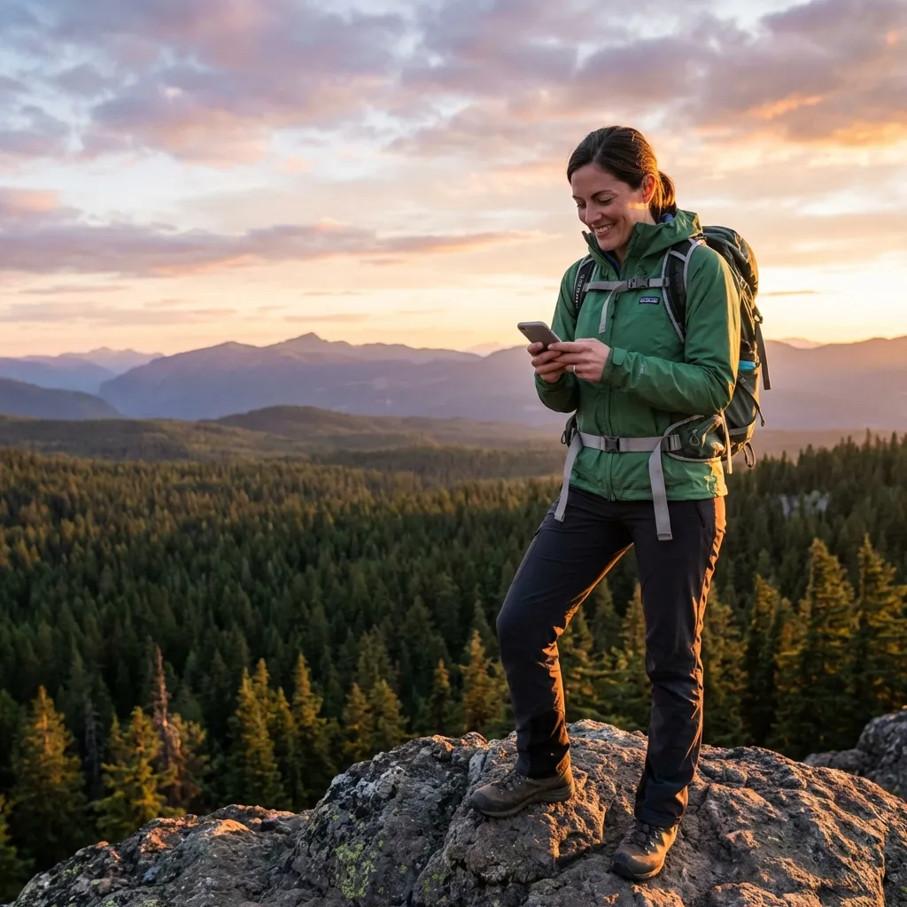
The AT's dense 'Green Tunnel' of deciduous and spruce-fir canopy can attenuate satellite signals. For the fastest connection with your satellite-enabled smartphone (iOS 18+ or Android 15+), step onto a rocky viewpoint, shelter clearing, road crossing, powerline cut, or fire tower where you have a direct window to the open sky.
Why is hypothermia such a major threat on the AT in mild temperatures? ▾
Most hypothermia cases on the AT occur in 45°F to 55°F weather, not deep winter. When thru-hikers hike for 3 to 5 days in continuous soaking rain, their clothing and insulating layers become wet. Combined with mountain ridge winds, the cooling rate of the human body accelerates by up to 25 times. Accurate multi-day rain forecasts give hikers the warning they need to shelter in huts or pitch tents before becoming incapacitated.
Can I use SMS Weather On Demand with my Garmin inReach on the AT? ▾
Yes. You can text your coordinates directly to SMS Weather On Demand from a Garmin inReach, ZOLEO, or SPOT device to receive hourly and daily forecasts for your specific location coordinates, bypassing Garmin's extra premium weather surcharges.