Colorado Trail Weather Considerations
- High Average Elevation: Over 89,000 feet of total elevation gain, averaging over 10,300 feet, and peaking at Coney Summit (13,271 ft).
- Afternoon Thunderstorms: In July and August, storms often build quickly by midday. Clearing high ridges before afternoon is standard practice.
- Long Cell Phone Gaps: Remote stretches in the San Juans and Collegiate West regularly mean several days without cell coverage.
- On-Demand Forecasts: Hourly and daily forecasts are available for your specific location coordinates via satellite SMS on your phone, without requiring an expensive monthly device plan.
Weather Along the Continental Divide
The Colorado Trail travels 486 miles between Denver and Durango, crossing six wilderness areas and eight distinct mountain ranges. Because so much of the trail stays high on ridges and alpine tundra, exposure to shifting weather is a regular part of daily travel.
Midsummer brings regular afternoon convection. A morning that begins under clear skies can quickly see cumulus clouds building before noon, producing rain, hail, gusty winds, and lightning. On exposed stretches like Georgia Pass, Lake Ann Pass, or the high mesas of the San Juans, finding shelter above treeline is nearly impossible.
Having an updated forecast for the specific pass ahead helps you plan your day—whether that means an early 5:00 AM alpine start to beat incoming clouds, or choosing a protected camp lower in the valley.
Notable Weather Zones on the Trail
Georgia Pass & Tenmile Range
Long exposed sections above treeline near Kenosha Pass and Breckenridge. Wind regularly funnels across the Divide with minimal natural shelter.
Hope & Lake Ann Passes
The high western route stays between 11,000 and 12,800 feet for more than 80 miles. Crossing passes requires careful storm timing.
The San Juan High Country
Extended remote sections above 12,000 feet near Coney Summit. Cell service is absent, and late-season cold fronts can bring sudden snow.
Why Town Forecasts Don't Tell the Whole Story
Hikers frequently check town forecasts for places like Leadville, Buena Vista, or Silverton before getting on trail. But temperatures typically drop by 3°F to 5°F for every 1,000 feet of elevation gain:
79°F • Light breeze
Pleasant summer afternoon in town
42°F • 35 mph gusts, graupel
Cold, windy conditions on the ridge
SMS Weather On Demand provides hourly and daily forecasts tailored to your specific location coordinates and elevation. You see conditions calculated for the pass you're climbing, not the valley town miles away.
Satellite Weather Without Extra Monthly Fees
In past years, getting weather in the backcountry meant packing a separate satellite device and paying a monthly subscription fee. Today, modern smartphones make this simpler:
Use the Phone in Your Pocket
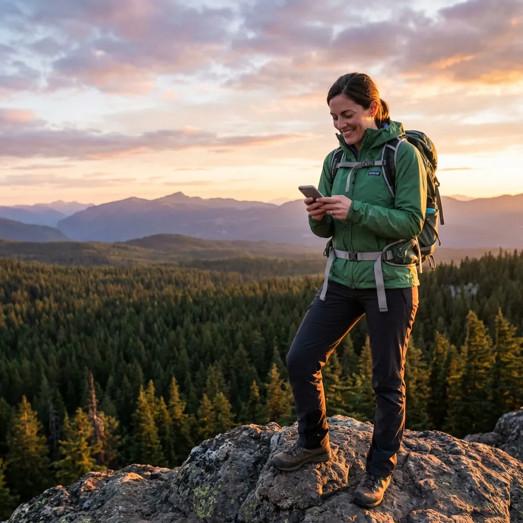
If you carry an iPhone 14 or newer running iOS 18+, or a Google Pixel 9 / Samsung Galaxy S25 on Android 15+, your phone can connect directly to satellites. Text SMS Weather On Demand straight from your messaging app with no additional device needed.
Pay Only for What You Use
Whether you're out for a long weekend near Copper Mountain or hiking all the way to Durango, you only pay pennies per requested forecast. No ongoing monthly commitment, no off-season suspension charges, and your first requests are free.
Frequently Asked Questions
Where does cell service drop on the Colorado Trail? ▾
Cell service is unavailable across large stretches of the trail, especially through the San Juan Mountains (Segments 22 through 25 between Cochetopa Pass and Molas Pass), along the Collegiate West alpine route (CW01 through CW05), and in valleys like Cochetopa Creek. Hikers often go several days without standard cellular coverage.
Why can't I rely on town forecasts like Leadville or Buena Vista? ▾
Town forecasts reflect conditions at valley elevations thousands of feet lower than the trail. While Buena Vista might predict calm 78°F conditions, high passes like Hope Pass (12,540 ft) or Lake Ann Pass (12,620 ft) can experience 35 mph winds, sub-freezing wind chills, and hail due to elevation and localized mountain convection.
What is the typical summer storm pattern on the Colorado Trail? ▾
During July and August, afternoon thunderstorms are common across the Rockies. Mornings often start clear, with clouds building by late morning. Storms bringing lightning, rain, hail, and gusty winds usually develop between midday and early evening. Trail veterans aim to clear high, exposed passes before noon.
How does satellite SMS weather work on a phone without cell service? ▾
Phones with direct satellite messaging (like iPhone 14 or newer running iOS 18+, or Google Pixel 9 and Samsung Galaxy S25 on Android 15+) can send standard text messages off-grid. SMS Weather On Demand provides hourly and daily forecasts for your specific location coordinates via satellite SMS.
Can I use SMS Weather On Demand with a Garmin inReach on the trail? ▾
Yes. If you carry an inReach, ZOLEO, or Bivy Stick, you can text your coordinates to the SMS Weather phone number from your device and receive a compact, accurate forecast back on your screen.